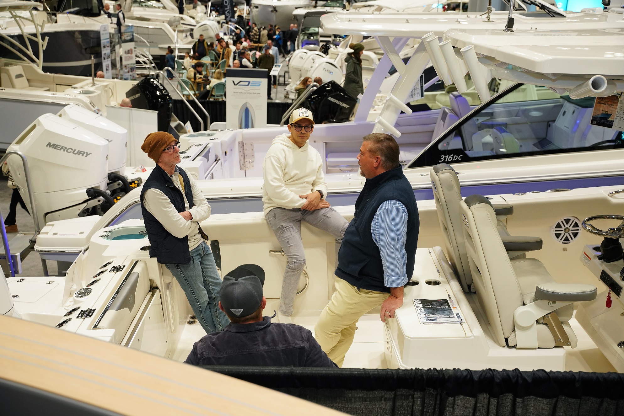
Discover why buying a boat in the winter is a smart move. Learn how winter boat shopping offers better deals, new models, and a smoother launch come spring.
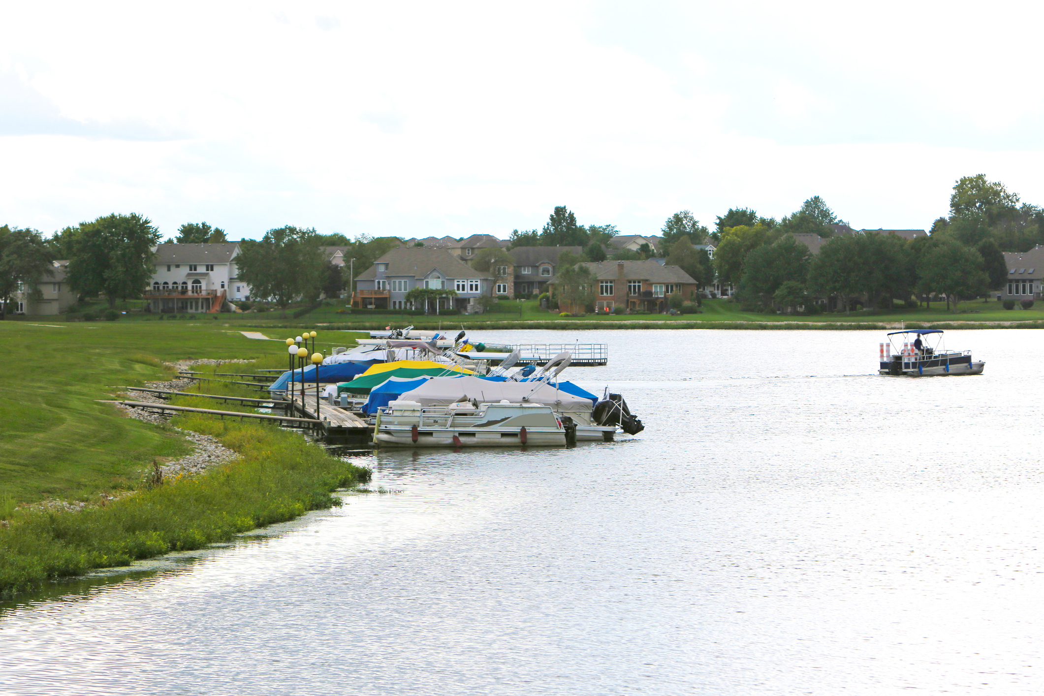
Interested in boating in Kansas? Discover the best lakes, boating tips, and what you need to know before…
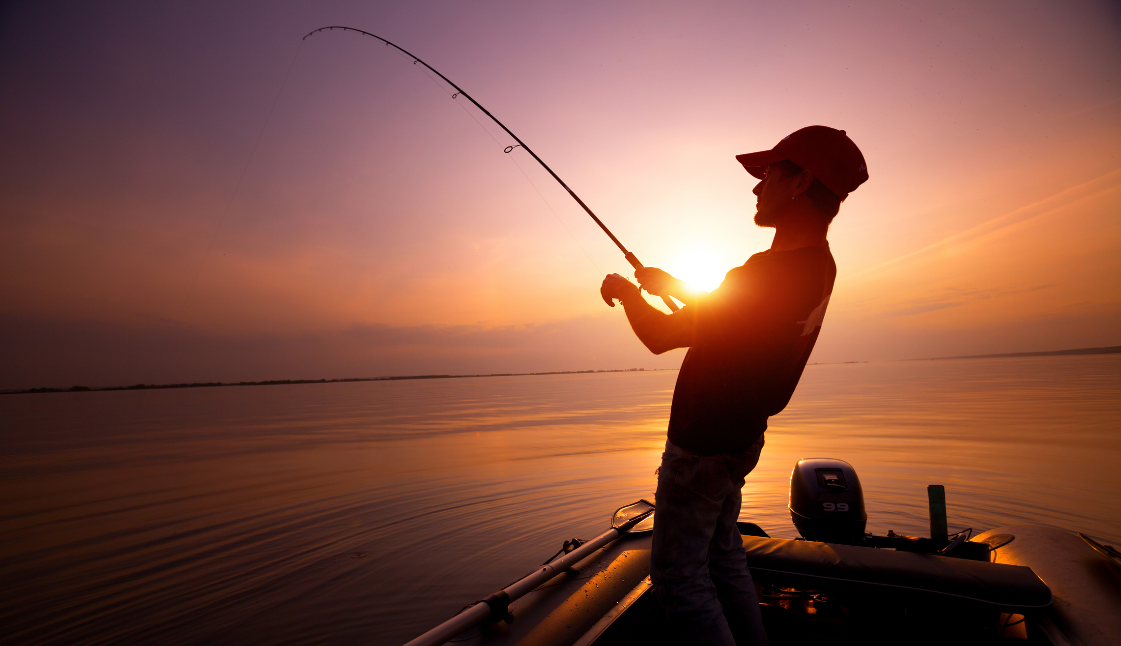
Spring is one of the best times of year to plan a fishing getaway. As waters warm and fish move…
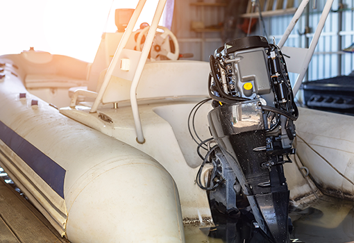
Learn how to fog your boat engine to prevent winter rust and corrosion with fogging oil, step-by-step…
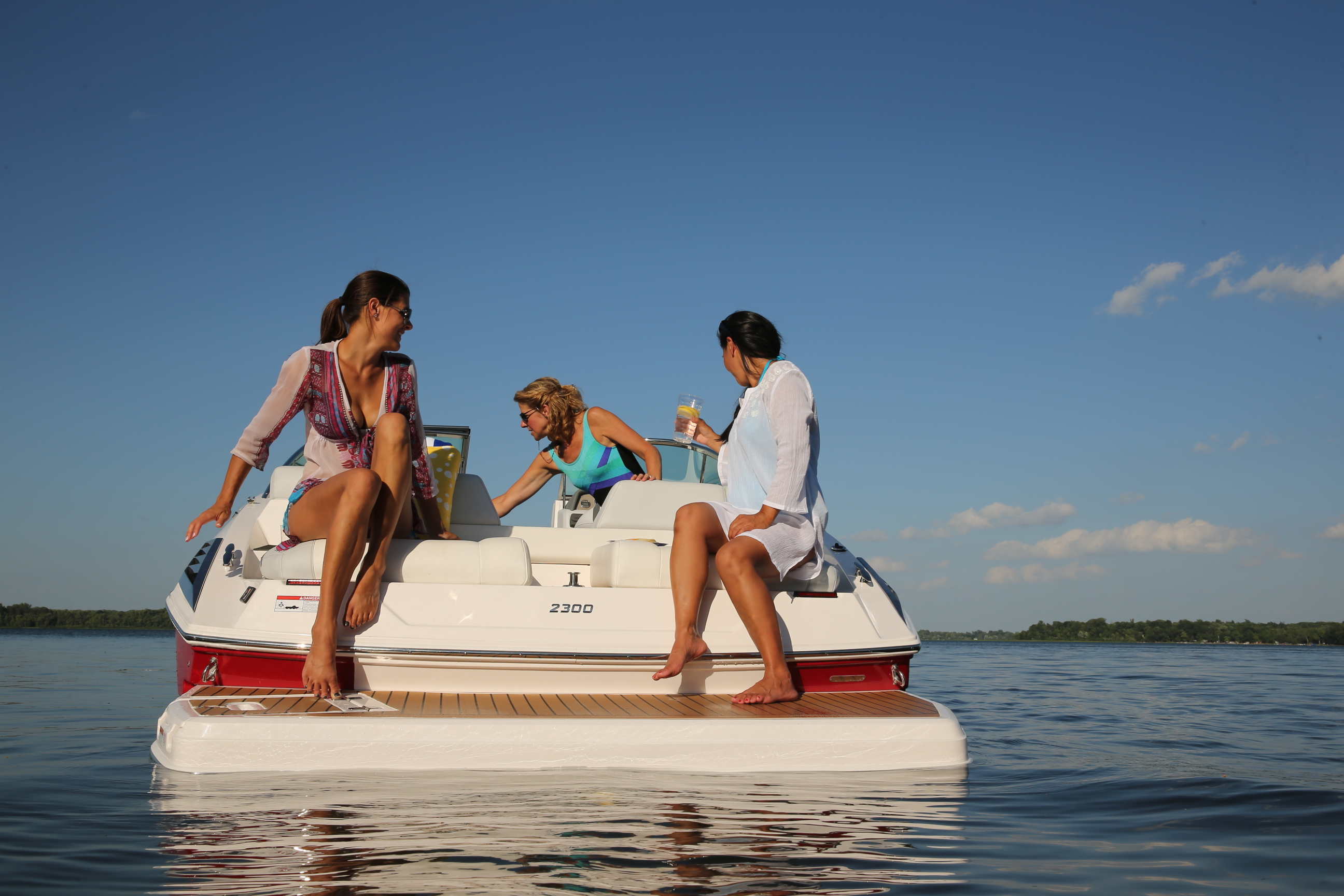
Explore the stories of women who made boating history this Women’s History Month, from early pioneers to…
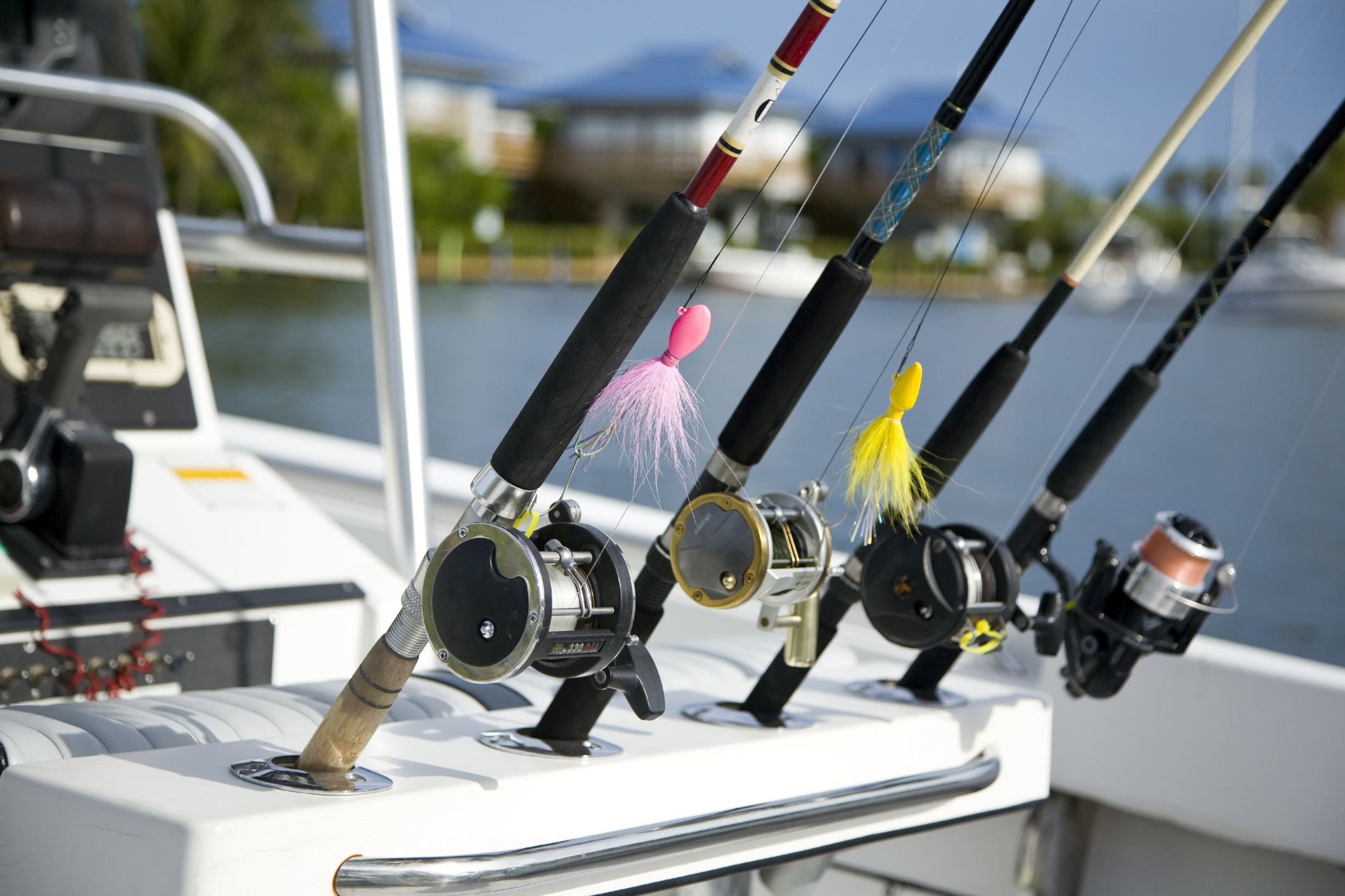
Whether you're an avid angler or new to fishing, here are the 15 most common types of fish to keep on your…
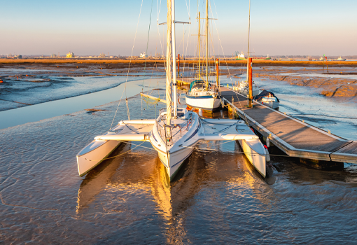
What is a trimaran? Explore this three-hull boat guide to learn about trimaran design, speed advantages,…
Get community news, buying bargains, and how-to guides at your fingertips.