Explore Boating Accessories by Category
 Boat Construction, Service & Repair Items >
 Components & Systems >
 Boat Cooking Tools & Galley Supplies >
 Docking Equipment & Anchoring Accessories >
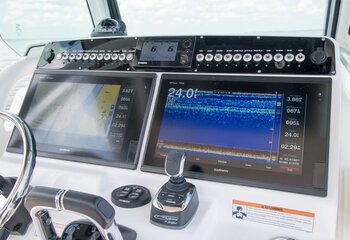
 Marine Electronics & Navigation Instruments >
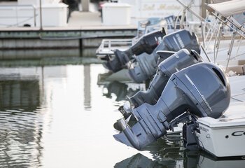
 Boat Motor Parts & Engine Repair >
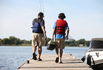
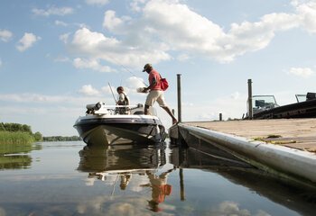
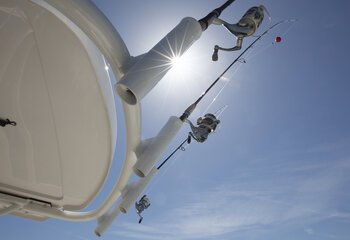
 Fishing Gear, Tackle & Equipment >
 Boat Parts, Marine Hardware & Original Equipment >
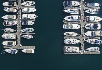
 Marina Equipment >
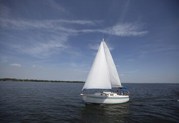
 Sailboat Accessories >
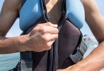
 Boat Safety Equipment >

 Soft Goods, Gear & Gifts >
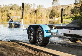
 Boat Trailer Parts & Accessories >

 Water Sports Equipment >
Buying Your First Boat Guide
So you’re ready to take the plunge and buy a boat. Download our step-by-step beginner’s guide to get up to speed on all the basics.